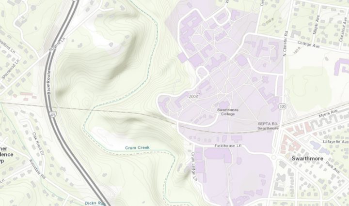
Topographic Map of Swarthmore College

The Science of Where: ArcGIS updates

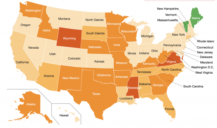
You may have seen the data-rich maps produced through Johns Hopkins Univeristy about the spread of COVID-19 ( https://coronavirus.jhu.edu/us-map ), or maybe you’ve seen the Yale Climate Opinion Maps ( https://climatecommunication.yale.edu/visualizations-data/ycom-us/ ) or COVID response opinion maps (https://covid.yale.edu/innovation/mapping/). At ESRI’s … Continue reading The Science of Where: ArcGIS updates

group photo

River Stories – A Delaware River Sojourn

Last summer, students in “River Stories,” an English and Environmental Studies class taught by Betsy Bolton, canoed a stretch of the Delaware River from Lackawaxen, PA to the Delaware Water Gap. Taking time to shoot photography, keep journals, and write … Continue reading River Stories – A Delaware River Sojourn

SPEED 2019 Projects

An intrepid and diverse group of students successfully took on a number of Summer Projects for Educational E-Development, working with faculty and staff to the benefit of the campus community.  Alice Huang, Bilal Soukouna, Helen Huh,Katherine Knox and Steven Fernandez met with Librarians, … Continue reading SPEED 2019 Projects

A-Frame, the WebVR framework for creating 3D visualizations

Building interactive VR objects and environments for course materials or as course assignments has gotten much easier with the development of web frameworks such as A-Frame. This framework leverages WebVR and WebGL APIs using a markup language that should be … Continue reading A-Frame, the WebVR framework for creating 3D visualizations