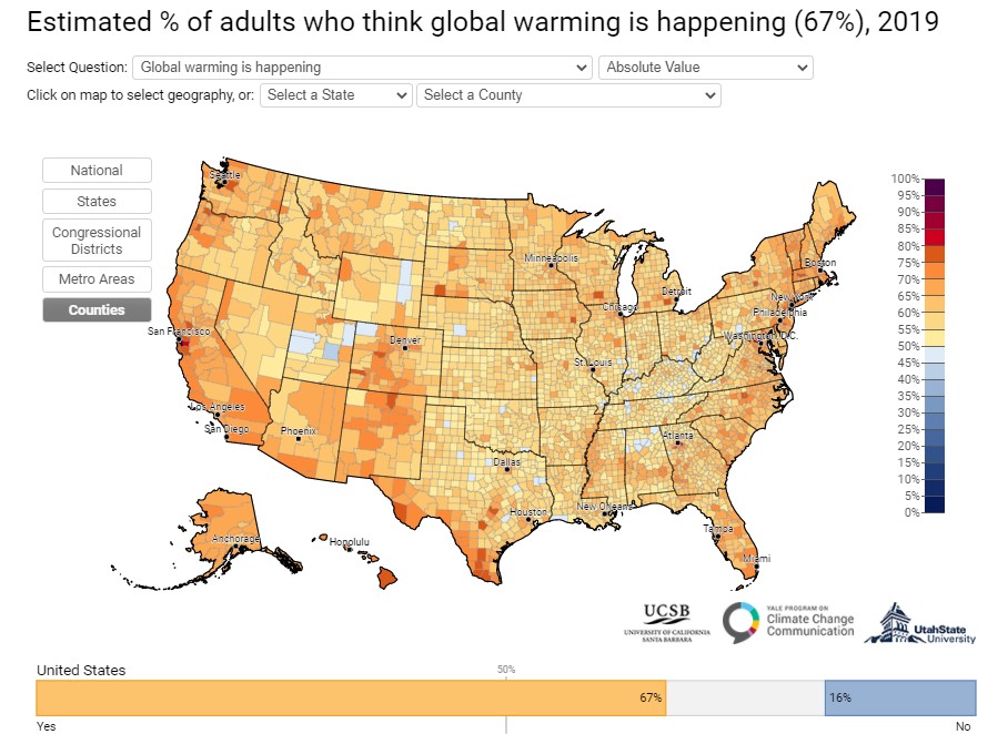
You may have seen the data-rich maps produced through Johns Hopkins Univeristy about the spread of COVID-19 ( https://coronavirus.jhu.edu/us-map ), or maybe you’ve seen the Yale Climate Opinion Maps ( https://climatecommunication.yale.edu/visualizations-data/ycom-us/ ) or COVID response opinion maps (https://covid.yale.edu/innovation/mapping/). At ESRI’s annual user conference, and in subsequent discussions with our ESRI account representative, it’s become clear that ESRI has really embraced the new ArcGIS Pro and ArcGIS Online tools they’ve been building for the past few years, and we’re seeing how this technology can be leveraged to tell better, clearer, more understandable stories about the world around us and the people we share it with.
First, with ArcGIS Online, we have ever increasing utility for students and faculty who need to use GIS tools that are available anywhere they have a computer interface, and that are independent of whether you’re on a Macintosh, Windows or other platform. You can also run analyses that might take too long on a shared “public” or lab computer. our instance of ArcGIS Online (https://swarthmore.maps.arcgis.com/home/index.html) is where you get access to geocoding resources for matching addresses or partial addresses to geographic locations, and where it’s easiest to share GIS data and maps with colleagues and collaborators. It’s also where you can get access to the content in the ArcGIS Living Atlas of the World – a collection of geographic information from around the globe: https://livingatlas.arcgis.com
Another greatly improved tool is the ArcGIS StoryMaps resource. If you want to tell a story that has a geographical element, this resource makes it easy for you or for a group of students to collect that content and present it publicly with map data to support your ideas. Whether you’re presenting a COVID-19 story (examples) or something about your local bike trails (example), StoryMaps can provide the structure and resources to bring it together.
All of these tools are accessed through your ArcGIS Online account, which is free for members of the College community. For now, please contact Doug Willen (x7787, support@swarthmore.edu) for an account, but this system will soon be tied to our central authentication resources, further simplifying access.
One more great new change is that both students and faculty will be able to access the latest version of ArcGIS Pro and download it to their own (Windows) computers through their ArcGIS Online account, once we switch over to the new system. We’re excited that ESRI has finally, and particularly in this COVID context, made it easier to provide students and faculty with the most advanced GIS analysis resources, and we look forward to leveraging these tools to support your research and spatial thinking, whatever your field of study. If you are a Mac user, who doesn’t have access to a Windows system, we’re working on solutions for you through the College’s resources too – just let us know what you need with an email to: support@swarthmore.edu.