Know where things are: Precise GPS location service now available
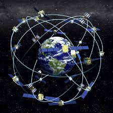
GPS precision Standard GPS devices, including car GPS and your cell phone give you information about where you are in the world based on signals from a set of satellites circling far overhead. GPS is a type of GNSS (Global … Continue reading Know where things are: Precise GPS location service now available