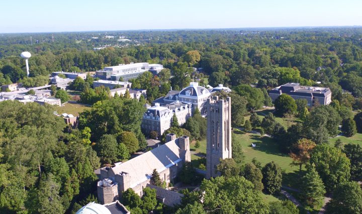
Sweeping the bits image

Review & Recommendation: Protecting your online privacy & blocking ads

I get a regular email newsletter from the New York Times, called Smarter Living, which brings me interesting perspectives, recommendations and information for every day life. This is particularly useful now during the pandemic when were all stuck working remotely. … Continue reading Review & Recommendation: Protecting your online privacy & blocking ads

Accessibility Book Logo

Best Practices in Accessible Online Design

Recently I’ve been impressed with a digital book, Best Practices in Accessible Online Design written expressly for faculty grappling with accessibility of course material for the classroom (or virtual classroom) and what that means to them. This clear, concise and … Continue reading Best Practices in Accessible Online Design

Topographic Map of Swarthmore College

ArcGIS Enterprise Server at Swarthmore!

Built initially to host and internally publish data on the underground utilities of the campus for our Facilities work, ArcGIS Enterprise is the foundational software system for supporting GIS broadly across the campus; powering mapping and visualization, analytics, and data management. … Continue reading ArcGIS Enterprise Server at Swarthmore!

Topographic Map of Swarthmore College

The Science of Where: ArcGIS updates

You may have seen the data-rich maps produced through Johns Hopkins Univeristy about the spread of COVID-19 ( https://coronavirus.jhu.edu/us-map ), or maybe you’ve seen the Yale Climate Opinion Maps ( https://climatecommunication.yale.edu/visualizations-data/ycom-us/ ) or COVID response opinion maps (https://covid.yale.edu/innovation/mapping/). At ESRI’s … Continue reading The Science of Where: ArcGIS updates