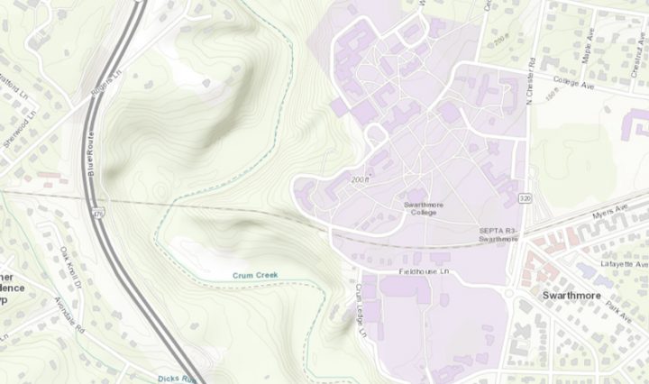
Topographic Map of Swarthmore College

ArcGIS Enterprise Server at Swarthmore!

Built initially to host and internally publish data on the underground utilities of the campus for our Facilities work, ArcGIS Enterprise is the foundational software system for supporting GIS broadly across the campus; powering mapping and visualization, analytics, and data management. … Continue reading ArcGIS Enterprise Server at Swarthmore!

Topographic Map of Swarthmore College

The Science of Where: ArcGIS updates

You may have seen the data-rich maps produced through Johns Hopkins Univeristy about the spread of COVID-19 ( https://coronavirus.jhu.edu/us-map ), or maybe you’ve seen the Yale Climate Opinion Maps ( https://climatecommunication.yale.edu/visualizations-data/ycom-us/ ) or COVID response opinion maps (https://covid.yale.edu/innovation/mapping/). At ESRI’s … Continue reading The Science of Where: ArcGIS updates

Adobe Creative Cloud access for remote students: EXTENDED DATE!

As a result of the campus closure, which means that students do not have access to College provided computers, Adobe has provided temporary at-home access for all Swarthmore students until July 6, 2020. Follow the instructions detailed in this ITS Knowledge Base … Continue reading Adobe Creative Cloud access for remote students: EXTENDED DATE!