Spurred in part by increased interest in map analysis amongst our students, faculty and staff, and in part by a new project in Facilities, we have been preparing a new ArcGIS Enterprise server system (Portal, Server, DataStore). This is a local version of ArcGIS Online, a cross-platform, web based tool for GIS data analysis, data storage and data sharing. Currently anyone in the Swarthmore College Community who wants to have access to the highest level of map analysis tools can use ArcGIS desktop and ArcGIS Online through the College’s licenses (together with Bryn Mawr and Haverford Colleges) to do that sort of work. Having our own server system will enable even greater control over our data and the ability to integrate more of the ESRI ArcGIS tools into the suite of resources our community can take advantage of.
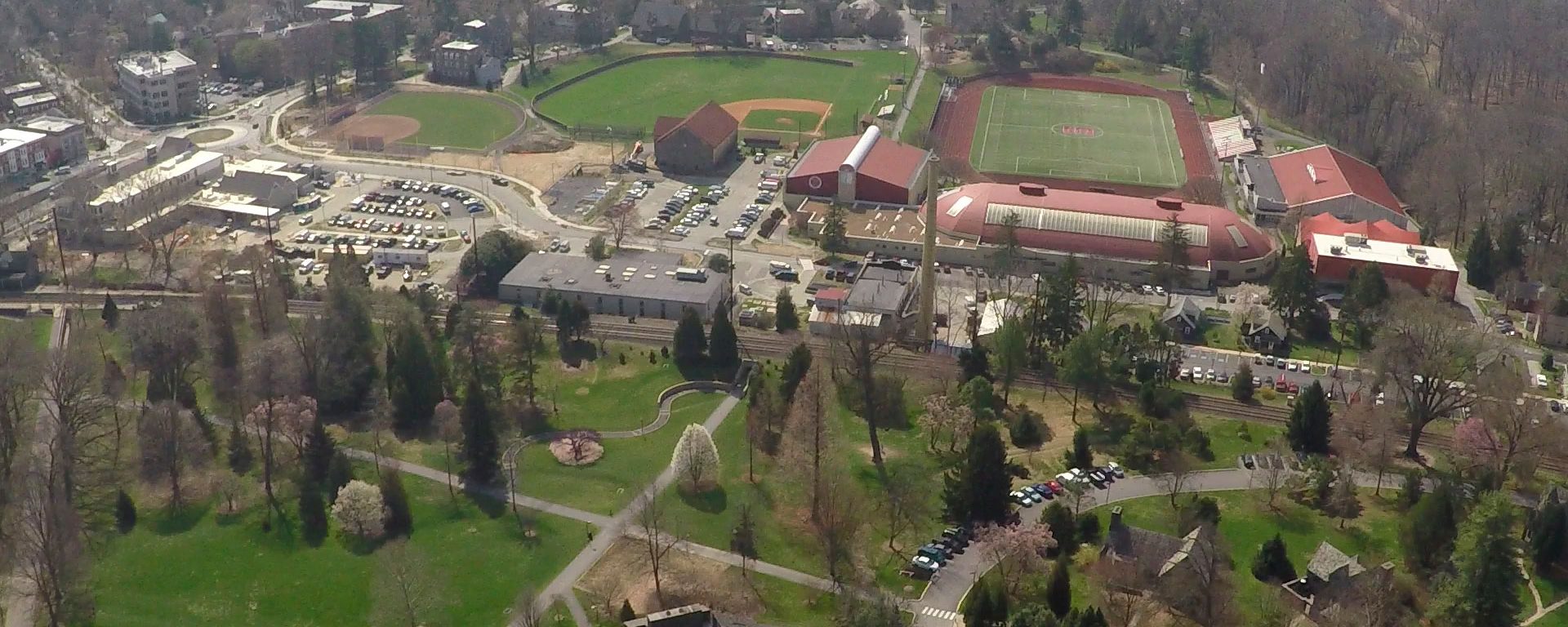
The Facilities part of this is really exciting too! With several new building projects over the past few years, and at the mid-point of the Biology, Engineering and Psychology/Singer Hall Project, the College has realized just how much information about what’s under the beautiful lawns, plants and woods here needs to be documented in a commonly accessible and well integrated way. Working with vendor Entech Engineering, the College is currently developing a coherent GIS of all of the critical systems that run underground here. These systems include the water distribution system, the sewers, the electrical systems, the campus network, the steam tunnels, the gas lines, and everything that connects these systems together, including man-holes and the many small conduits and hand-boxes that dot our landscape. Rather than relying on the memory of our most senior and sometimes already retired facilities staff members, this information will become available in a comprehensive resource that can be combined with other map data, such as topography, water sources, plantings, building locations, pedestrian flows, etc. for any sort of data analysis that our community needs. We already have faculty eager to use this resource for class and individual research projects that involve the campus infrastructure, and it will become even more important as we re-evaluate the various campus energy and utility networks toward our long term sustainability goals. The firm we’re working with has done similar work on the underground utilities with our colleagues at Ursinus.
We hope that in the long term, this resource will be allow us to combine data on the ecology of the Crum woods, data from the Arboretum on campus plantings, data from facilities on various resources with many other sources for novel and exciting analyses our community needs to make great long term decisions and to better understand our current environment as well as the history of our campus. It’s not just about making maps, its about a tool that can show critical features, overlaps of facilities, relationships between resources and challenges and the like in a graphical and understandable way.
To find out more, contact Doug Willen, Academic Technologist (x7787, willen@swarthmore.edu).