Part One: Making Use of Mapping in Institutional Research
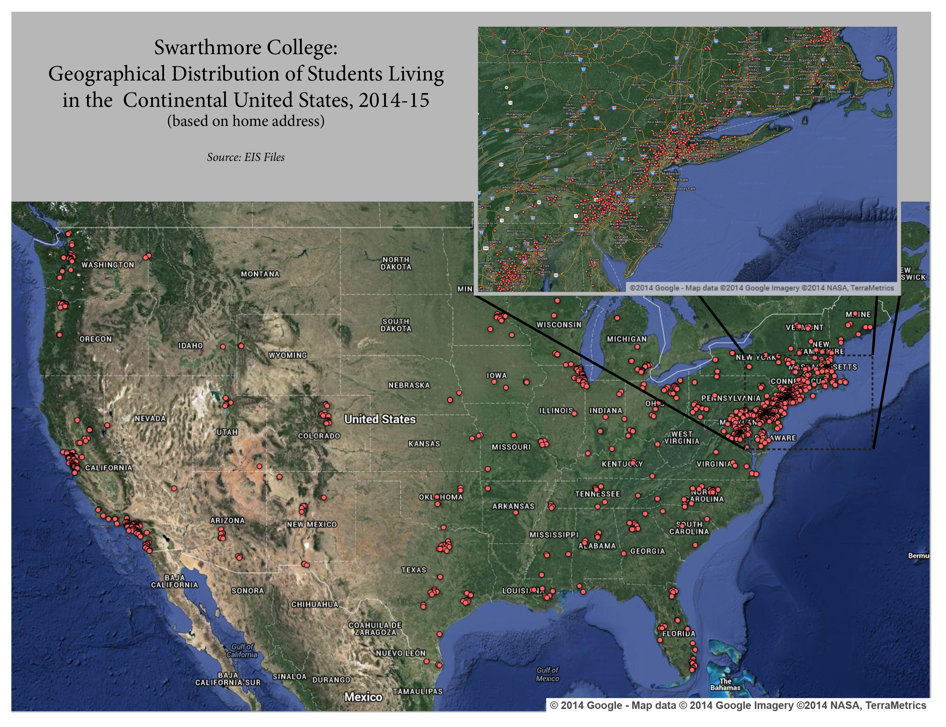
A good visual can be a helpful tool considering that the job of an Institutional Researcher is to keep the attention of people who have many important things to do with their time and little time to spend wading through a lot of text and long explanations. Enter mapping and spatial analysis. Maps generally make for familiar, easy to read, and aesthetically pleasing images that grab viewers’ attention and, when carefully constructed, do a very good job of communicating information. They are nice to look at, but they can also tell us relevant and important about our institution. I elaborate on a specific technique in this post (Part One) and delve more deeply into the topic in a follow-up post (Part Two). In this post I illustrate a simple but effective technique for mapping point locations. In the following post (Part Two), I discuss some of the potential deeper applications for mapping and spatial analysis in Institutional Research.